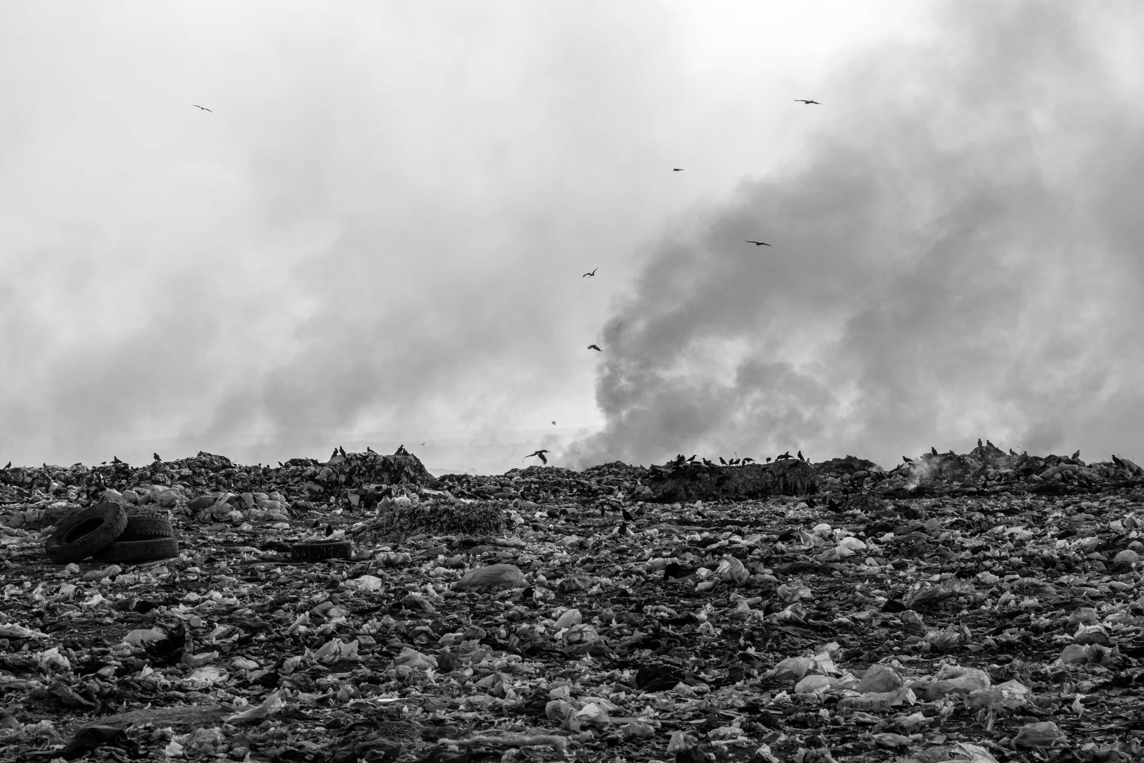
We detected uncontrolled waste disposal in Moldova
Using satellite imagery and AI, Landfill Watch identified additional waste-site candidates in Moldova. Their mapped locations and estimated boundaries provide a starting point for inspections and repeat monitoring.
- Area screened
- 2,465.1 km²
- Districts covered
- 3
- Known sites From public data
- 19
- New sites detected By Landfill Watch
- 6
Newly detected sites are screening candidates for expert review and field verification.
Known and newly detected waste sites in Moldova
Compare the public inventory with additional sites flagged by satellite screening. Select a site to see its location and boundary.
Uncontrolled disposal is a regional challenge.
EBRD’s 2022 assessment described limited rural collection and reliance on dumpsites in Ungheni, Nisporeni and Călărași.
Landfill fires can spread beyond the waste site and affect nearby communities, as the Călărași report shows.
Read EBRD report (PDF, opens in a new tab)2022 regional baseline
Ungheni, Nisporeni and Călărași
- Disposal sitesMost were open dumps.
- ~100
- Rural collection coverageRural residents with a waste-collection service.
- 15%
- Tonnes of waste per yearMunicipal waste generated in the region.
- ~44,000
Why it matters
The effects of uncontrolled waste can reach beyond the dumpsite.
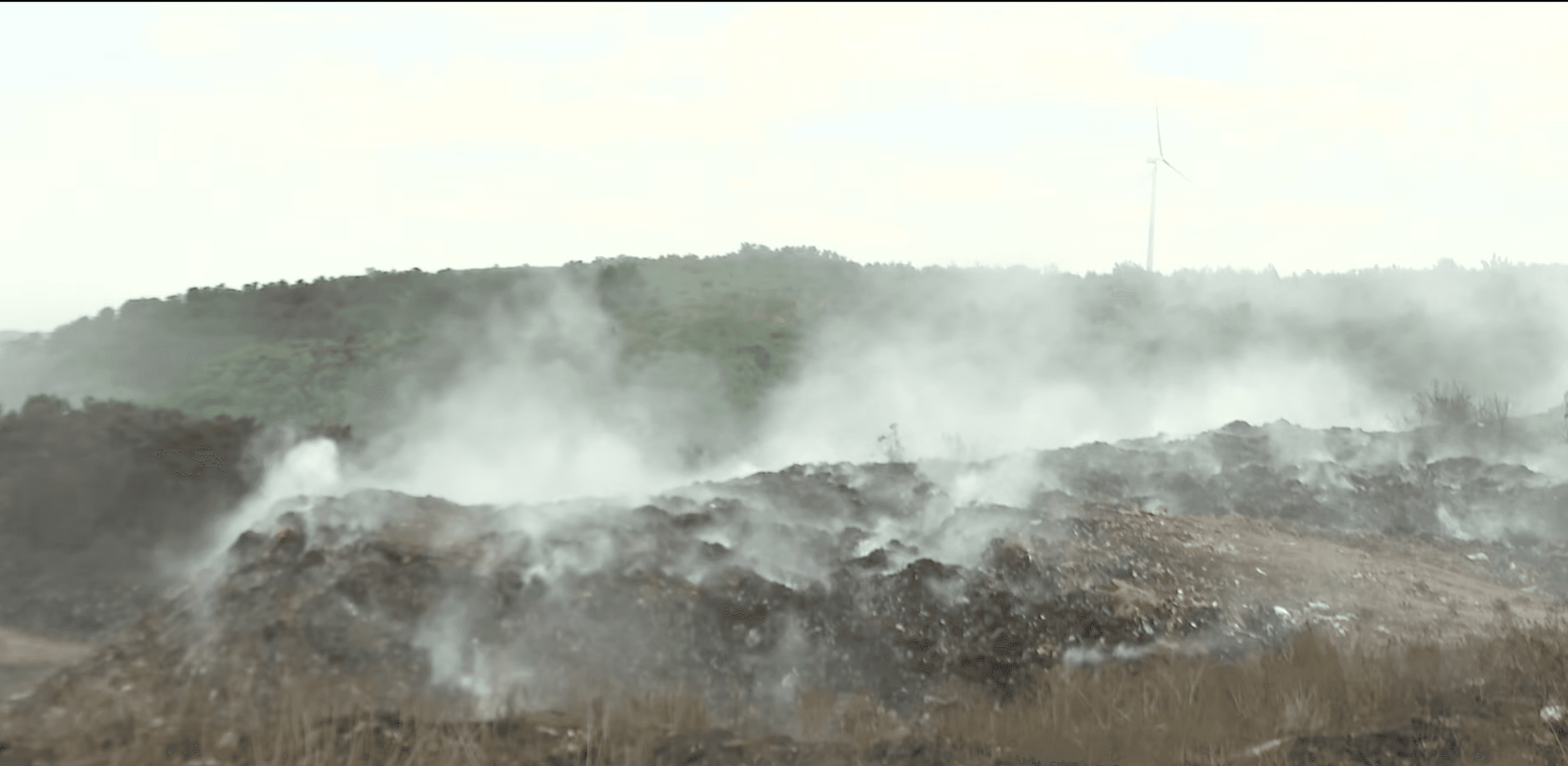
Fires and smoke
Burning waste can release harmful smoke and affect nearby communities.
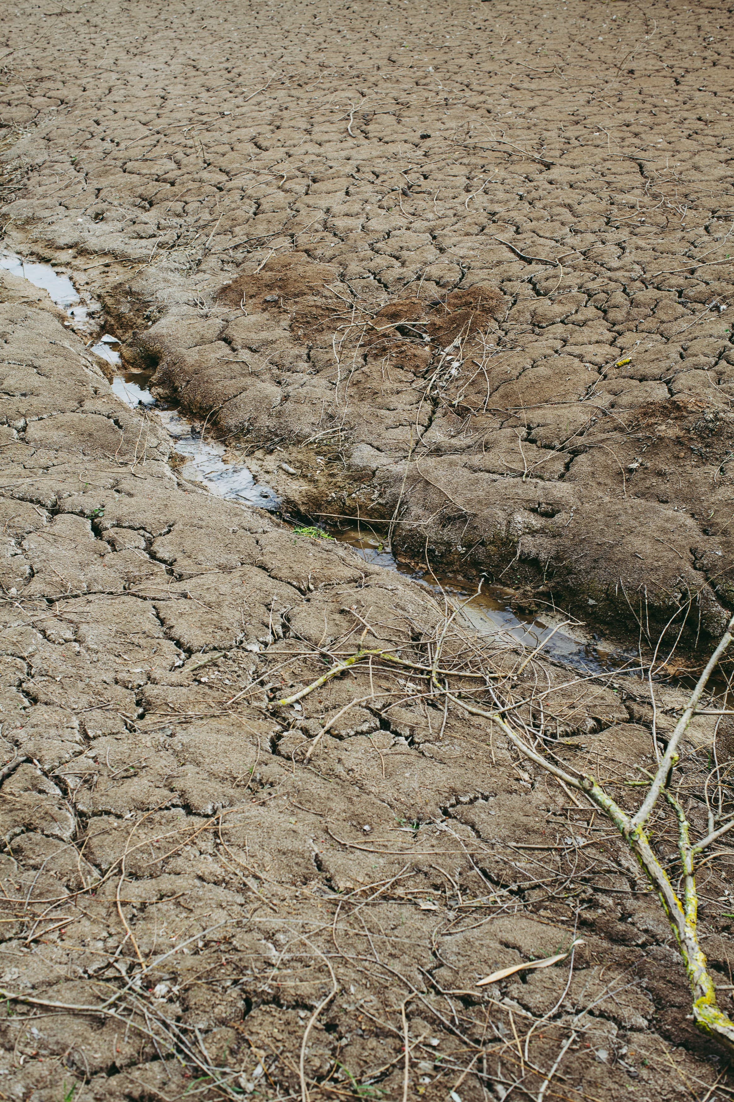
Soil and water pollution
Pollutants from unmanaged waste can reach surrounding soil and water.
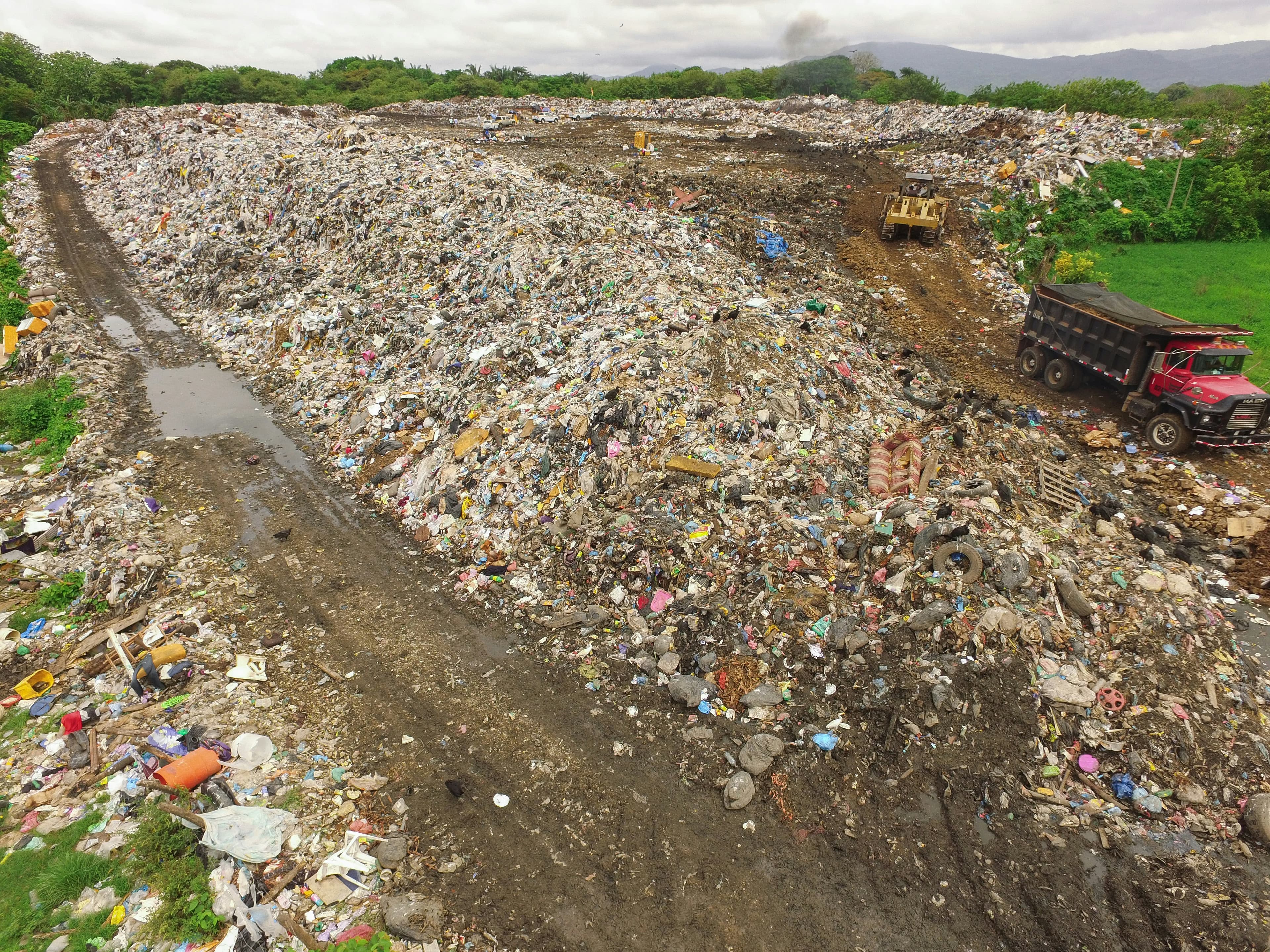
Expanding dumpsites
Repeat satellite imagery helps reveal new waste sites and visible changes in their boundaries.
Impact on communities
Mapping waste sites near settlements helps focus inspections, cleanup and follow-up.
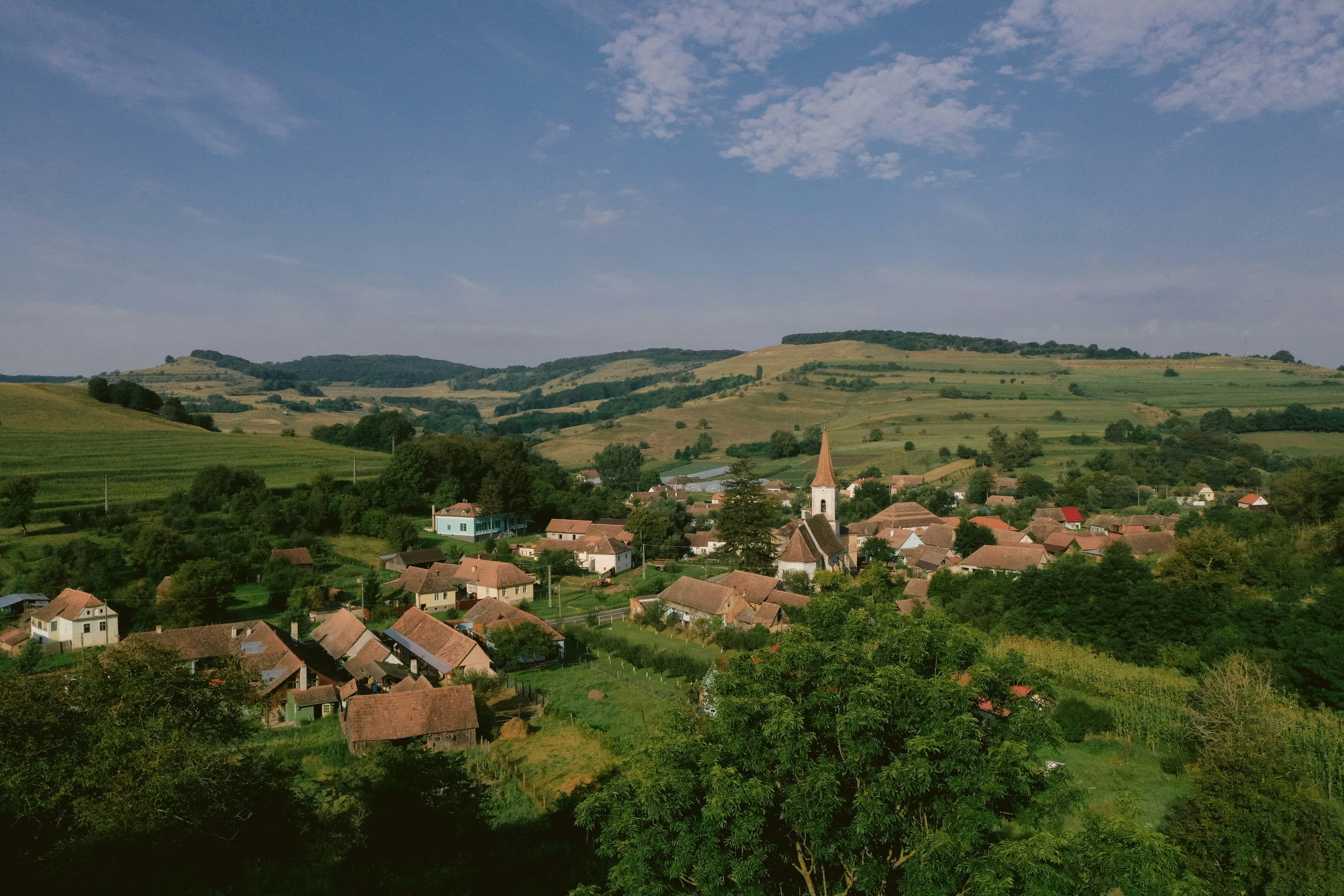
What we found beyond public records.
Public records were the starting point. Satellite imagery and AI helped us look beyond them.
Known sites
Sites listed in existing public inventories and records.
Satellite screening
Wider-area screening with AI and expert review.
Analyse satellite imagery
Look for potential waste sites across the wider area.
Review the findings
Expert review helps narrow down the candidates.
Prepare for follow-up
Map locations and estimated site boundaries.
Additional candidates
Not present in the public inventory.
Screening result: candidate locations and estimated boundaries support prioritisation. Field verification is required to confirm site status and impacts.
A clear process, built around your needs.
We support your team with evidence, planning, monitoring and stakeholder coordination — from detection to inspection prioritisation
Built for the way you work.
Your schedule
One survey or regular updates, scoped to your needs and budget.
Focused fieldwork
Spend inspection time on the sites that matter to your team.
Measurable outcomes
Agree indicators and assess progress against a baseline.
Shared decisions
Bring authorities, specialists and local knowledge into the same plan.
What would you like to address?
Whether you manage a region, support environmental work or run waste operations, tell us your area and the decision you need to make.